Geographic Information Systems
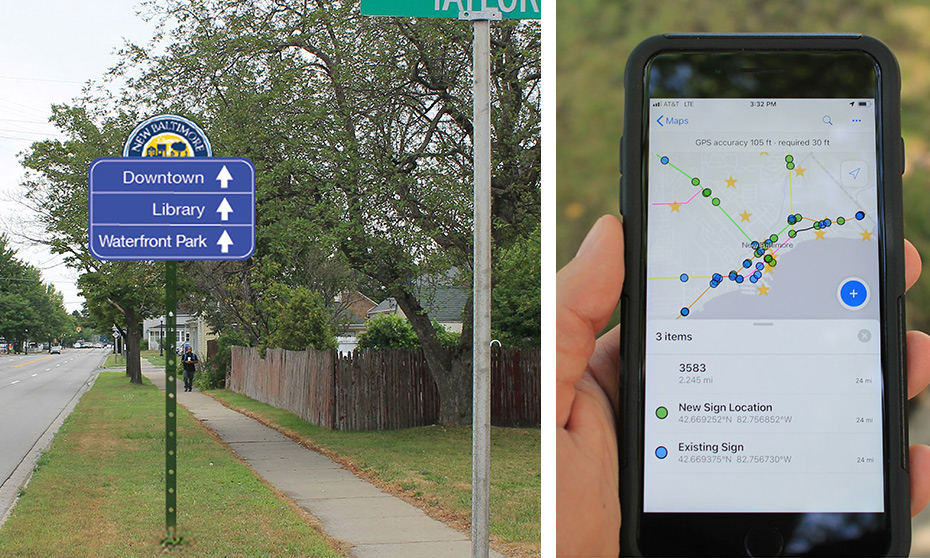
Geographic Information Systems (GIS) is a platform that puts the power of geospatial processing into the hands of your entire organization. GIS has transformed the way we organize assets, serve our clients, make decisions and communicate. As your GIS consultant, we focus on solution-based applications to make operations and decision-making more efficient, informed and cost-effective.
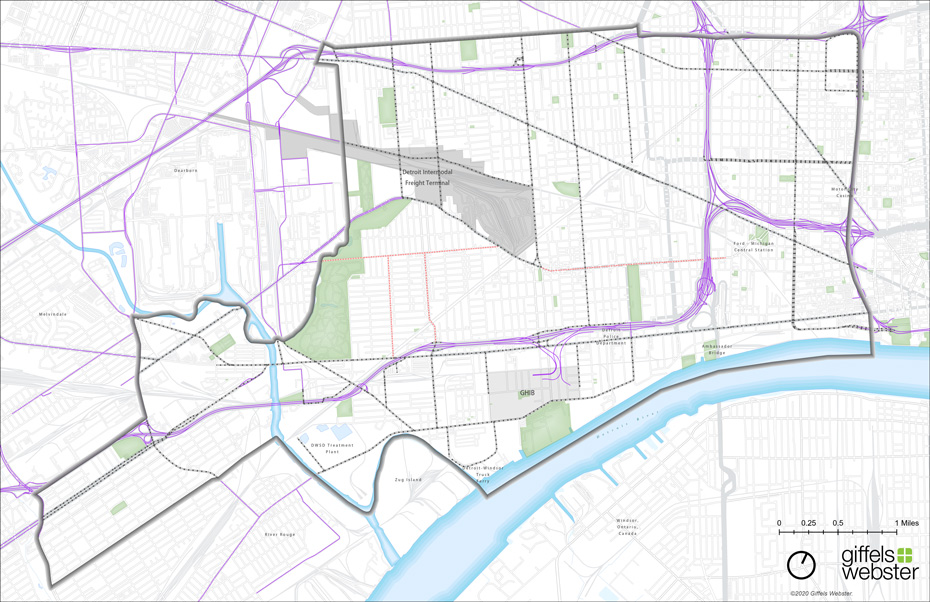
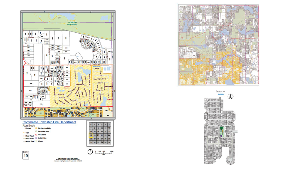
We provide the expertise to handle and store, manipulate and display large volumes of your data in a meaningful way, and to communicate data analysis results to help you visualize your data in relation to the world around you.

ArcGIS for Local Government
We understand the needs of city, state, and county government users, aligning our core services with Esri’s ArcGIS for Local Government solution.

ArcGIS Online
At Giffels Webster, we help organizations maximize the ArcGIS platform with ready-to-use apps, content, and services.