
Picture This!™: Community Visualization Tool
Giffels Webster’s Picture This!TM provides a clearer view of the planning process, keeping community input top of mind. It is a crowdsourced digital tool that uses a variety of media, including photos, videos and sketches, to illustrate key points and concepts for any community planning project.
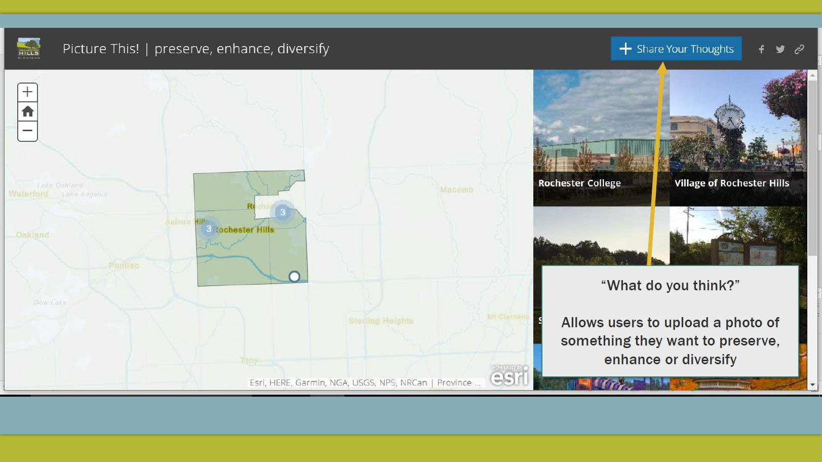

Using a Geographic Information Systems (GIS) platform, Giffels Webster experts can create an online, crowdsourced tool that enables community stakeholders to convey information about the community in a richer, more engaging way. Residents, business owners, and visitors are invited to participate in the planning process by adding a photo that is placed accordingly on a map. Points on the map appear as circles that grow when multiple images are tagged to that location, adding importance and immediacy to areas that matter most to folks in the area. These images are used throughout the planning process to best guide the development of communities where the individuals work, live and play.
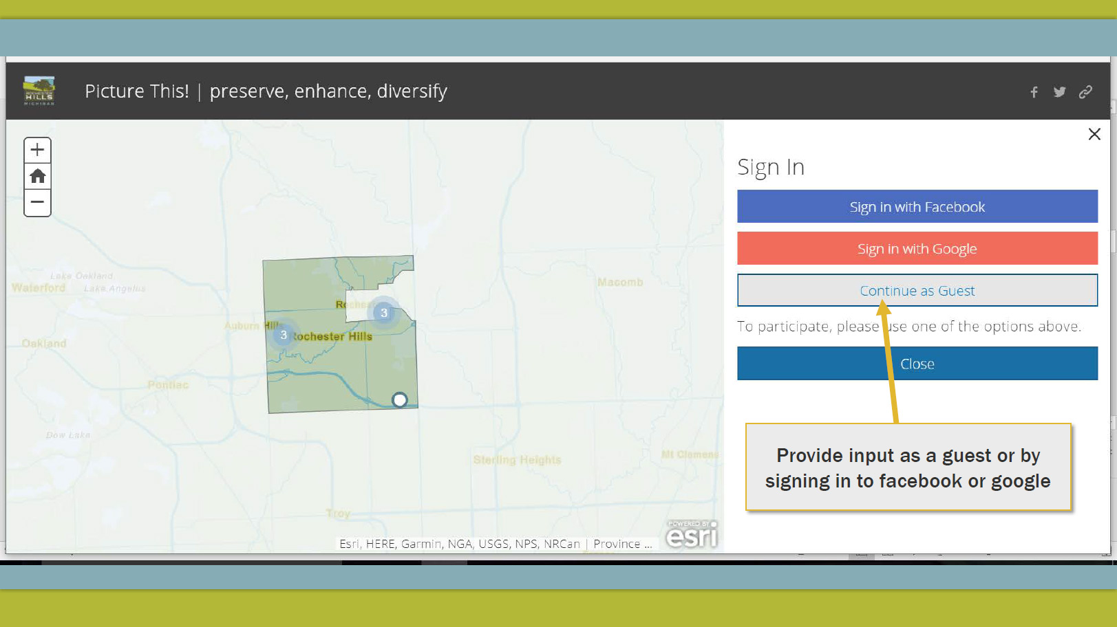
Garnering public engagement throughout the community planning process can be challenging. Picture This! encourages community participation through submitting photos, comments and organized discussion about things people like in their municipality and other communities, and where improvements can be made. This intuitive and user-friendly platform can be used on a computer, tablet or phone. With this tool, our planning experts are able to offer balanced solutions for all community needs.