
Drone Services
All successful projects start with an accurate survey of the land. Giffels Webster’s team of FAA-licensed drone service experts utilize leading technology to ultimately produce a comprehensive picture for planning and design.
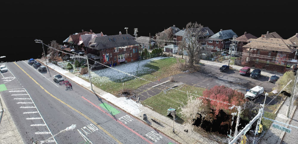
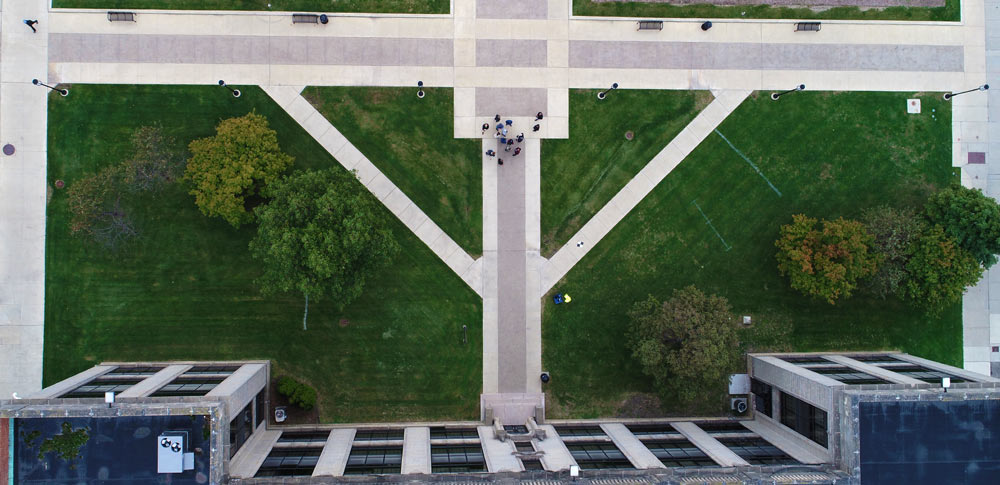
Compared to traditional surveying methods, drones come into play on projects where safety may be a concern and additional detail is required. Drone mapping provides high-resolution aerial shots that pairs with 3D laser scanning data, allowing our team of licensed surveyors to produce final images with life-like detail and precise measurements that guide projects from start to finish.
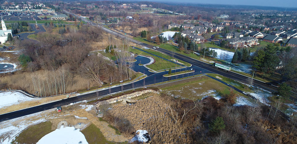
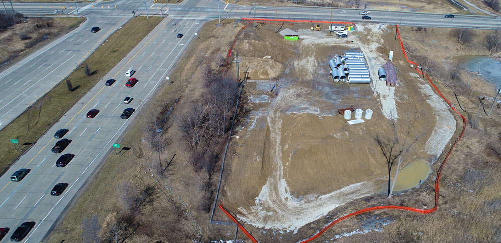
Common uses for drones on projects include areas that are otherwise difficult or impossible to reach such as busy roadways, flooded areas, hazardous sites, or congested city landscapes. This technology is also ideal for monitoring construction progress. Drone mapping provides our clients in-depth update and progress shots remotely and aids in important decision making along throughout the process.
This technology elevates Giffels Webster surveying services to new heights and provides our clients a clearer view than ever before.